Keep delivery simple
The marketing site uses HTML, CSS, and JavaScript, with no application backend required for its public content.
CASE STUDY 06 / GIS & data
Make the complexity of land understandable.
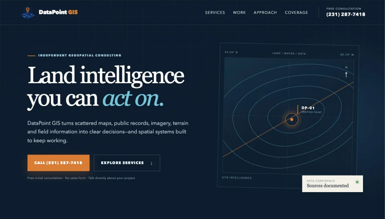
A focused geospatial consultancy website that connects land-intelligence services with tangible spatial-system examples.
Technical communication · Static web delivery · Geospatial expertise
01 / THE CHALLENGE
Spatial analysis can be difficult to evaluate from a list of technical services. Landowners and project teams need to understand the questions a GIS engagement can answer and the evidence behind it.
02 / THE SOLUTION
A static website presents land intelligence, spatial data engineering, and web mapping in clear language. The site connects the consulting offer to practical work, including parcel-scale mapping and the QGIS/PostGIS systems behind those deliverables.
03 / ENGINEERING DECISIONS
The marketing site uses HTML, CSS, and JavaScript, with no application backend required for its public content.
The service narrative explains source documentation, data quality, and the relationship between an analysis and the decision it supports.
Semantic content, canonical URLs, social metadata, and structured business information support search and sharing.
04 / WHAT IT DELIVERS
A public-facing home for geospatial work, with a direct contact path and a clear bridge from consultancy services to interactive mapping projects. QGIS and PostGIS support the underlying practice, rather than the static marketing page itself.
Explore datapointgis.com ↗ (opens in a new tab)THE NEXT CHAPTER
MICHIGAN / WORKING EVERYWHEREHave a challenging problem or a role in mind?
I’d like to hear about it.